
Location is the piece that binds information together. Semantic technologies optimize data sets to be Findable, Accessible, Interoperable, and Reusable (FAIR).
What Are Semantic Technologies?
Semantic technologies help machines understand how data from different sources are related to each other in meaningful ways. TerraFrame utilizes ontologies and to build data models for a field of knowledge or business domain to automatically “connect the dots” across large data sets in a spatial knowledge graph. The graph enables human-like inferences to answer key questions and produce time series data for reporting and business intelligence tools.
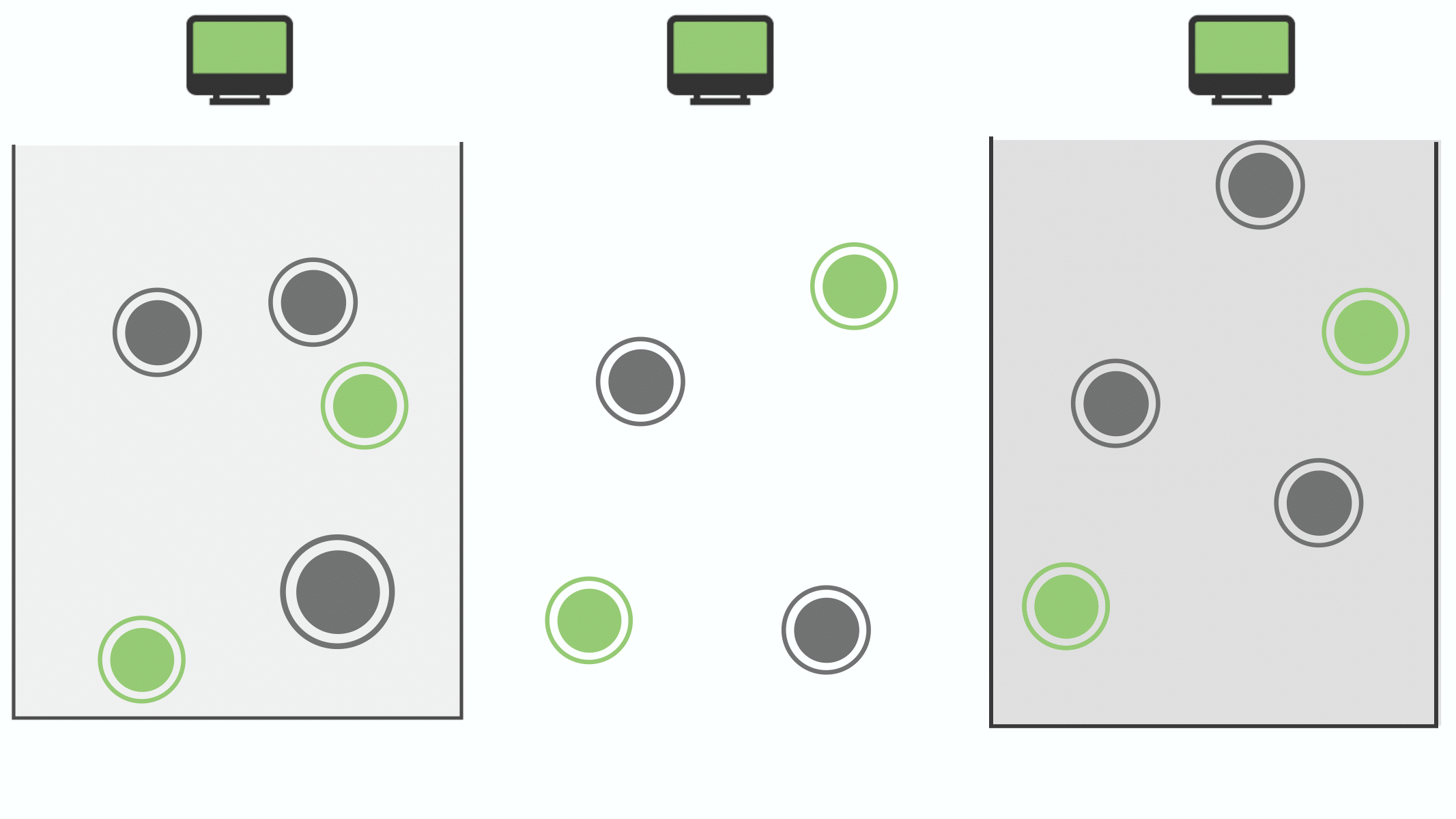
Reducing Information Silos
Data are normalized and contextualized from different sources in both space and time by using geographic objects as the common link between data sources to facilitate trend analysis and to aggregate data according to different hierarchies.
Enabling Collaboration
As data are updated through a curation process by the organizations responsible for managing them, other datasets that leverage them are automatically updated.

How It Works
TerraFrame allows you to optimize your data sets to be shared, accessed, expanded, and applied in ways customized to your specific needs.
Define Models
Ontologies define semantic properties of vocabularies and taxonomies. Geo-ontologies define types of locations, their attributes, their geometries, location hierarchies, and how location hierarchies are related to each other.


Government
National Spatial Data Infrastructure (NSDI)
TerraFrame develops open-source solutions that enable cooperation and coordination among agencies of federal governments, local governments, and the private sector. This is accomplished through the collection, production, sharing, and use of geospatial information for promoting public health, economic development, environmental protection, flood zone research, disaster recovery, education, agriculture, infrastructure, and other public and private services.
Unmanned Aerial Vehicle (UAV) Data Management
TerraFrame develops cloud-based solutions that cost-effectively store, manage, process, and share imagery even in low bandwidth and intermittent connectivity conditions. Organizations can control data access, either to the public or partner organizations, and keep designated data sources private within a secure location.
Health Information Exchange (HIE)
TerraFrame strengthens HIEs by using semantic technologies to integrate data by common geographies and to provide accurate geographic data to different components of an HIE architecture, starting with Health Facility management.
Disease Intervention and Elimination
TerraFrame develops and supports comprehensive spatial decision support systems (SDSS) that automate the integration of disparate data, perform spatial analysis, and provide timely and accurate reports to improve decision-making processes for disease intervention and elimination efforts.

Global Health

TerraFrame has been developing solutions that help to automate disparate data silos to support initiatives with a strong focus on social impact for over 10 years.

Contact Us To Learn More
Fax: 1-877-241-7381
75 WANEKA PARKWAY, LAFAYETTE, CO 80026